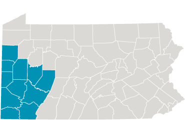
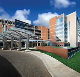
Part of the nationally-recognized UPMC health care system, UPMC Altoona is a nonprofit community health care provider with a 390-bed acute-care teaching hospital, several state-of-the-art outpatient centers, a surgery center, and a large local network of health care providers covering over 20 different specialties, with locations across six Pennsylvania counties.
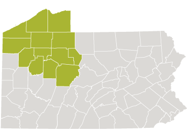
UPMC Altoona offers access to the latest diagnostic procedures, evidence-based therapies, and leading-edge treatments. We serve patients in a 20-county region and our comprehensive programs provide high-level care to patients from across the region.
Learn more about UPMC Altoona.
What’s Happening at UPMC Altoona
Low-Cost Blood Screening Program
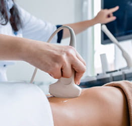
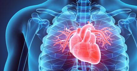
In partnership with Altoona AMBUCS, UPMC Altoona is offering a reduced cost blood screening program, designed to include tests that assist in the early detection of the leading health risks in our region, including coronary heart disease, glucose intolerance and diabetes, kidney and liver disease, and anemia. Blood screenings vouchers will be sold on Saturday, April 20, and Saturday, April 27, at the Blair County Convention Center. Vouchers can be redeemed at any local UPMC lab location during the month of May.
Learn more about the Blood Screening Voucher Program (PDF).
Kid’s Safety Day
UPMC Altoona will hold their annual Kid’s Safety Day event on Saturday, May 18, from 10 a.m. to 2 p.m. The event will include safety information and demonstrations, opportunities to meet local first responders, face painting, music, food trucks, prizes, and more. We also will offer car seat safety checks and a bicycle helmet giveaway and fitting.
Learn more about Kids Safety Day (PDF).